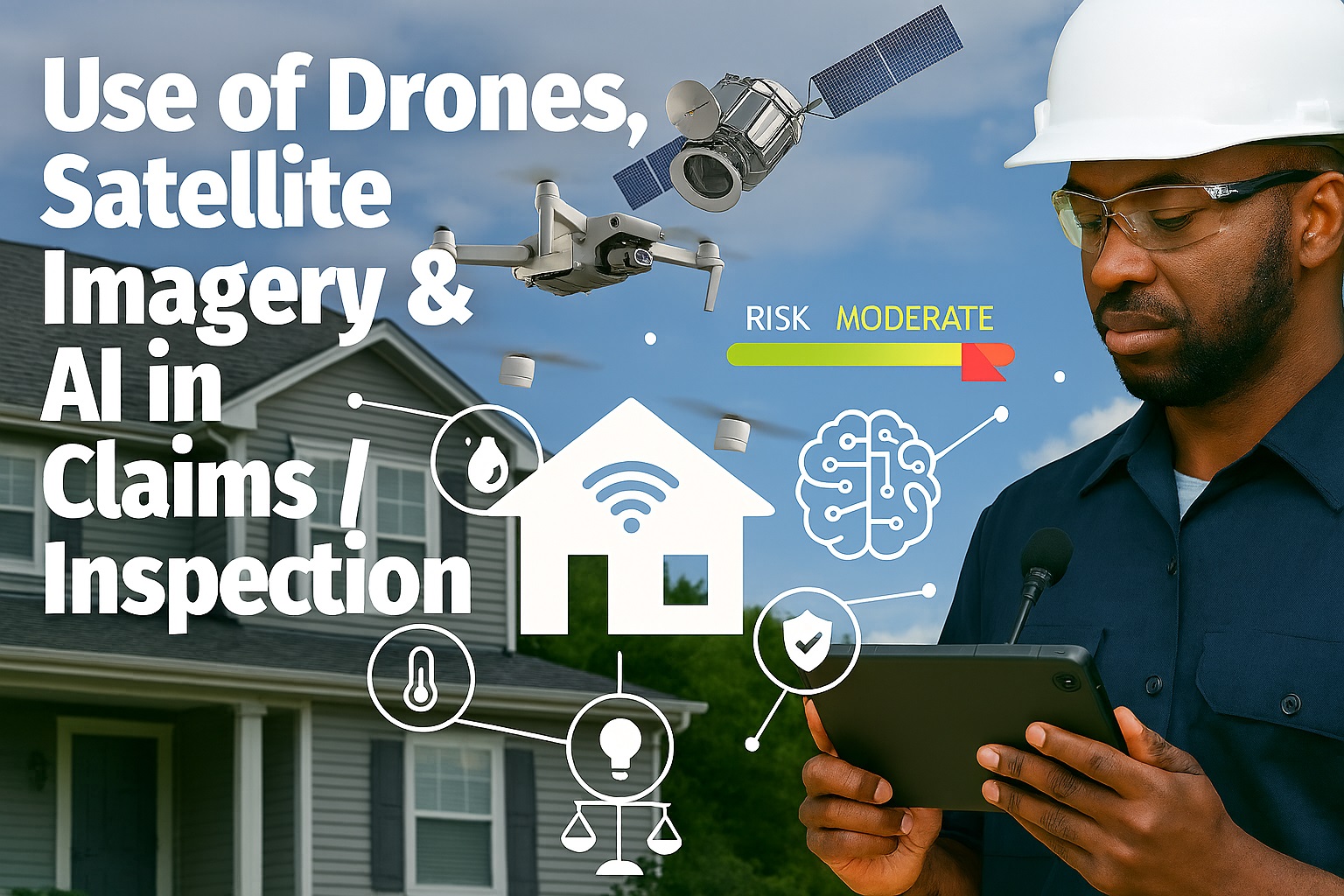
In 2025, the insurance industry is undergoing a technological revolution that is transforming how claims are processed and properties are inspected. The integration of drones, satellite imagery, and artificial intelligence is creating faster, more accurate, and safer assessment processes that benefit both insurers and policyholders.
What once took days or weeks now happens in hours, with precision that human inspectors alone could never achieve. This technological triad is reshaping the entire claims lifecycle from initial reporting to final settlement.
The Three Pillars of Modern Insurance Assessment
Aerial Drone Inspections
High-resolution drones equipped with thermal, multispectral, and HD cameras provide detailed property assessments from previously impossible angles and perspectives.
Satellite Imagery Analysis
Orbital satellites capture comprehensive property data over time, enabling change detection, pre-existing condition verification, and large-scale disaster assessment.
AI-Powered Analysis
Machine learning algorithms process visual data to identify damage patterns, estimate repair costs, and detect potential fraud with unprecedented accuracy.
Revolutionizing Property Inspections with Drones
Drone technology has become the standard for property inspections across the insurance industry. Modern inspection drones are equipped with sophisticated sensors that capture data far beyond what the human eye can see:
- High-Resolution Cameras: Capture detailed imagery of roofs, facades, and hard-to-reach areas
- Thermal Imaging: Detect moisture intrusion, insulation gaps, and electrical issues invisible to naked eye
- LiDAR Sensors: Create precise 3D models for accurate measurements and structural analysis
- Multispectral Imaging: Identify material types, aging patterns, and environmental damage
These capabilities allow insurers to conduct thorough inspections without putting human assessors at risk on steep roofs or in dangerous post-disaster environments.
Key Benefits of Drone Inspections
- Enhanced Safety: No need for inspectors to climb roofs or enter hazardous areas
- Comprehensive Coverage: Every angle and section of a property can be documented
- Faster Turnaround: Inspections completed in hours instead of days
- Objective Documentation: High-quality visual evidence for claims verification
- Cost Efficiency: Reduced labor costs and faster claim resolution
Satellite Imagery: The Big Picture in Insurance
Satellite technology provides insurers with a macro-level view that complements drone-based micro-inspections. The applications of satellite imagery in insurance have expanded dramatically:
Primary Applications of Satellite Technology
- Pre-Existing Condition Verification: Compare current property state with historical imagery to verify claim legitimacy
- Natural Disaster Assessment: Rapidly assess damage across large areas after hurricanes, wildfires, or floods
- Property Change Detection: Monitor unauthorized modifications or additions that affect risk profiles
- Environmental Risk Analysis: Track erosion, vegetation growth, and other environmental factors affecting property risk
"The combination of drone detail and satellite context has revolutionized how we understand risk. We're no longer making decisions based on incomplete information—we have the complete picture from orbit to eavestrough." - Mark Richardson, Chief Innovation Officer at Global InsureTech
Artificial Intelligence: The Brain Behind the Operation
AI systems process the vast amounts of data collected by drones and satellites, turning raw imagery into actionable insights. Modern claims AI can:
- Automatically identify and classify damage types (hail, wind, water, fire)
- Measure affected areas with millimeter precision
- Estimate repair costs based on local labor and material prices
- Detect patterns indicative of fraudulent claims
- Prioritize claims based on severity and urgency
Case Study: Hurricane Damage Assessment 2024
After Hurricane Liam struck the Florida coast in September 2024, traditional inspection methods would have taken weeks to assess all affected properties. Using the drone-satellite-AI triad:
- 24 hours: Initial damage assessment completed for 15,000 properties using satellite imagery
- 3 days: Detailed drone inspections conducted for 8,000 high-priority claims
- 85%: Claims processed and paid within one week of storm passage
- $47M: Estimated savings in emergency accommodation costs due to faster processing
The Evolution of Claims Technology
Manual Inspections
Physical inspections by adjusters, paper documentation, weeks-long processing times
Digital Transformation
Mobile apps for claims reporting, digital photos, basic automation tools
AI Integration
Widespread drone adoption, satellite data integration, AI damage assessment
Predictive Intelligence
Pre-emptive risk mitigation, real-time monitoring, fully automated claims
Benefits for Policyholders
This technological revolution isn't just benefiting insurance companies—policyholders are experiencing significant advantages:
Faster Claims
What used to take weeks now happens in days or even hours
Enhanced Safety
No need for dangerous roof climbs or entering unstable structures
Accuracy
More precise damage assessment leads to fairer claim settlements
Convenience
Remote inspections mean less disruption to your daily life
Privacy and Regulatory Considerations
As with any technology that collects visual data, privacy concerns are paramount. In 2025, the insurance industry operates under strict regulations:
- Informed Consent: Policyholders must explicitly consent to aerial inspections
- Data Minimization: Only collect imagery relevant to the claim assessment
- Secure Storage: Encrypted storage with strict access controls
- Limited Retention: Data deletion after claim settlement unless required for legal purposes
- Neighbor Privacy: Protocols to avoid capturing imagery of adjacent properties
Most insurers now provide transparent privacy policies and allow customers to choose traditional inspections if preferred.
Key Takeaways
- Drones, satellites, and AI are transforming insurance from a reactive to proactive industry
- Claims processing times have been reduced by over 70% through technology adoption
- Damage assessment accuracy now exceeds 90% with AI-powered analysis
- Policyholders benefit from faster, safer, and more accurate claims experiences
- Robust privacy protections ensure responsible use of aerial imaging technology
- The future points toward fully automated claims for standard scenarios by 2027
The Future of Insurance Inspections
Looking ahead to 2026 and beyond, we can expect several key developments:
- Real-Time Monitoring: Continuous property monitoring for immediate damage detection
- Predictive Analytics: AI that identifies potential risks before they become claims
- Automated Settlements: Instant claim payments for verified, standardized damage types
- Integrated Platforms: Seamless connection between inspection data, claims systems, and repair networks
- Expanded Applications: Technology adoption in commercial lines, agriculture, and specialty insurance
The insurance industry's technological transformation is accelerating, creating a future where claims are handled with unprecedented speed, accuracy, and fairness. For policyholders, this means better protection and faster recovery when the unexpected occurs.